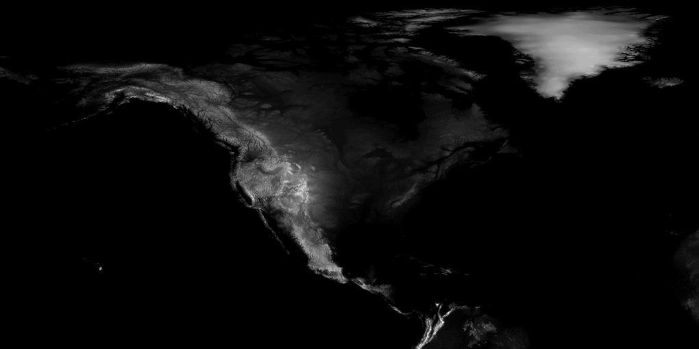
North America elevation heightmap
A greyscale elevation raster of North America, used to model the relief in the essay's Technate graphic.
ImageSources & confidence: Qualified confidence
Checked 19 October 2026 · AI-assisted review
Provenance of the derived file used in the graphic.
- Wikimedia Commons: Earth dry elevation
Source image and its public-domain status.

What this check doesn’t establish
- The crop and sea-level adjustment were made for the graphic; the derived file is not itself on Commons.
Confidence applies to the scope above, not every claim made by the underlying source. How confidence works
- Creator
- NASA
- Medium
- other
- Rights
- public domainNASA Visible Earth, via Wikimedia Commons.
- Reuse notes
- Work of the US federal government; public domain in the United States.
- Image source
- View original source
Used as the displacement map for the relief model in the Technate scrollytelling graphic.
In the essays
- Neo-Technocracy: Same Dream, Bigger Budget
Read the essay
Record history
Catalogue source: knowledge/images/north-america-elevation-heightmap.md
Generated by claude-code/claude-opus-5-5 on 2026-10-19